
Skeena Atlas
Here is a collection of historic maps of the Skeena River and surrounding area.
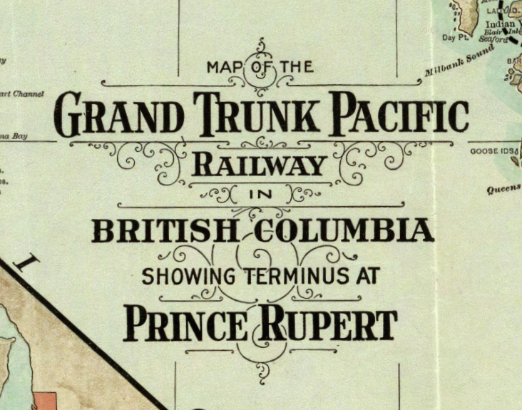
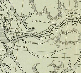
Published in 1910, this map covers the western half of British Columbia showing the Grand Trunk Pacific Railway route, as well as a special section showing details around Prince Rupert.
Drawn in 1881, this hand drawn map covers the Skeena River from the coast up to Hazelton and beyond to Babine Lake and area. Courtesy of the Library and Archives Canada.
A drawing from 1888 of the salmon canneries at the mouth of the Skeena, by Joseph A Mahood a surveyor. Courtesy Library and Archives Canada.
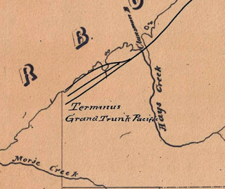
A map produced by the Grand Trunk Pacific Railway advertising “the New Country where New Fortunes are Being Made”.

A nautical chart, #313, of the Approaches to the Skeena River, published in 1918 by the Minister of the Naval Service of Canada.
Courtesy the Maritime Museum of British Columbia.

A engineered drawing of the the Terrace Military Camp showing the installations around Terrace during World War II, produced by the Department of National Defence.
Courtesy of Bill McRae, Terrace BC
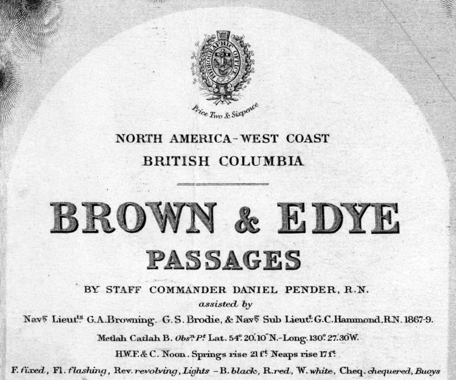
A map of the approach to the Skeena River in 1897, produced by Staff Commander Daniel Pender R.N., assisted by Navg. Lieuts. G.A. Browning, G.S. Brodie & Navg. Sub Lieut. G.C. Hammond R.N., 1867-9 May 1897.
Courtesy of Library and Archives, Canada
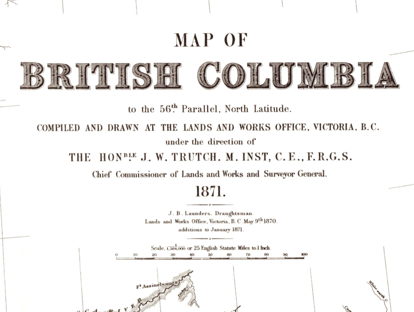
A map of B C compiled and drawn up in 1871 by the Lands and Works Office, Victoria BC under the direction of The Hon. J. W. Trutch, Chief Commissioner of Lands and Works and Surveyor General.
Courtesy of Provincial Archives of BC
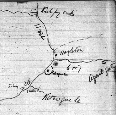
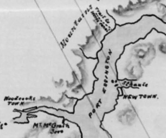
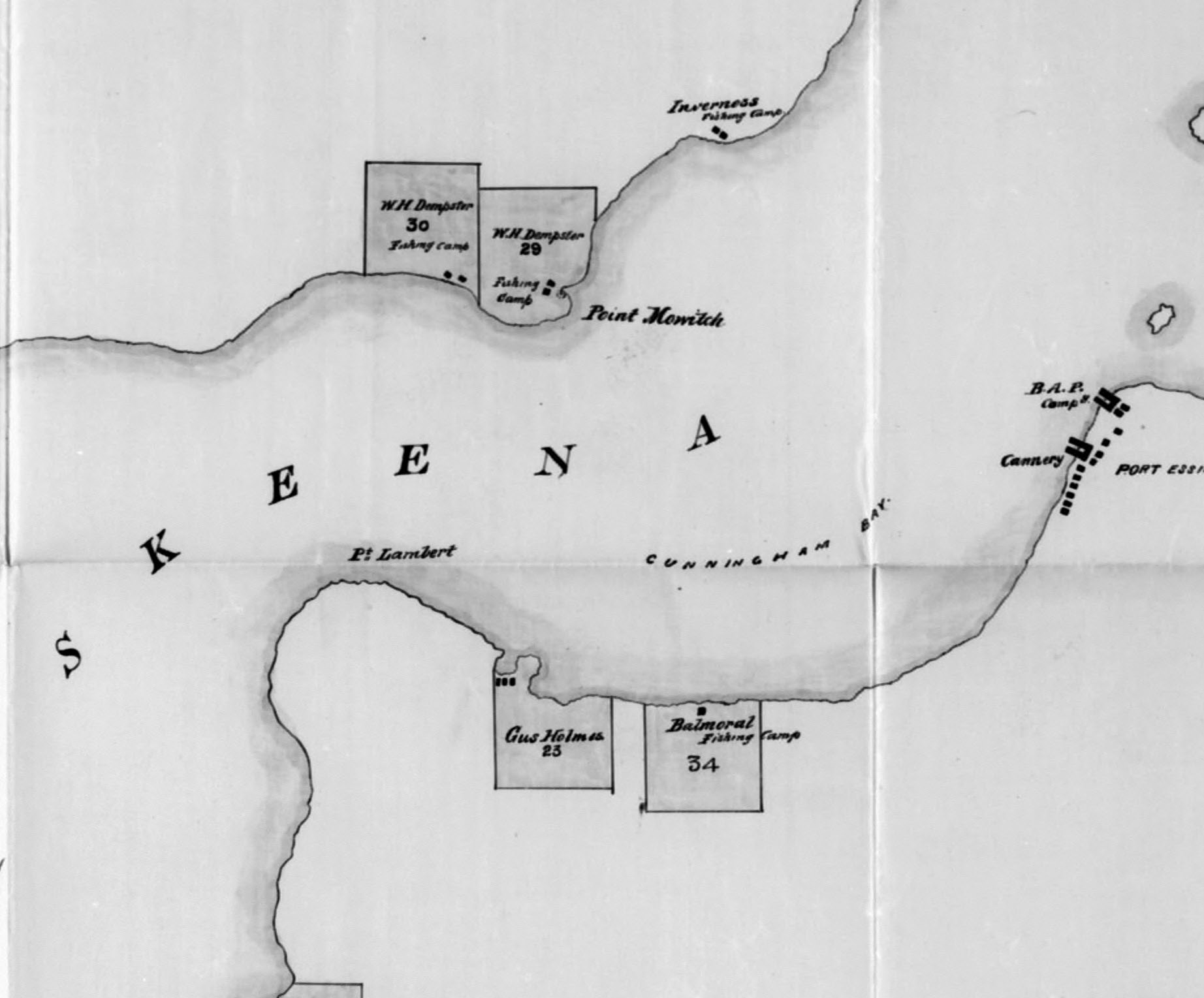
Three hand drawn maps of places along the Skeena River from Point Lambert (Veitch Point) to Kuldo, 1881
Courtesy of Library and Archives, Canada
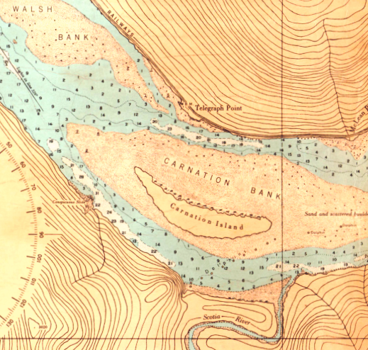
Nautical chart of Skeena River from Port Essington to Telegraph Point surveyed by Lieut. Comdr. J. A. Brown, Mr. S. O. Wigen and assistants, 1949
Courtesy Maritime Museum of British Columbia

Street Map of Port Essington as of 1893, creator unknown,
Courtesy Phylis Bowman, author Klondike of the Skeena
Map of the route taken by F. A. Talbot in his book The New Garden of Canada, written in 1911
Map of Lima Harbour (Prince Rupert) by Fred Ritchie, P.L.S.&D.L.S., 1905
◀
document.addEventListener(‘DOMContentLoaded’, () => { if (location.hash) { const el = document.getElementById(location.hash.substring(1)); if (el) el.scrollIntoView({ behavior: ‘auto’, block: ‘start’ }); } });